Published on , by Matt Stiles, February 20th 2012, 8:50:00 am
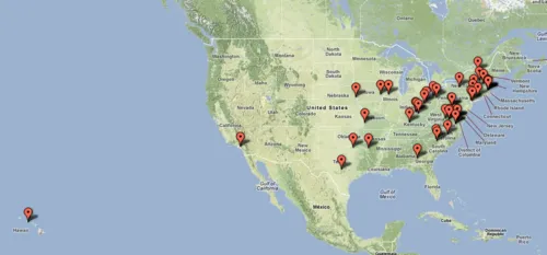
Since I get the day off, I figured I should repay our presidents by honoring their birthplaces with two maps made with Google Fusion Tables. This first map places points on their home towns (see larger interactive version):
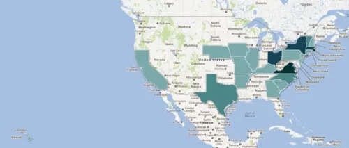
Here’s the same data but aggregated by state and mapped with polygons. Darker shades represent more presidents (see larger interactive version):
Data source: Wikipedia