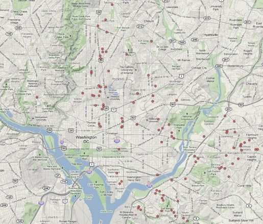
D.C. Homicides
The Washington, D.C., official data catalog is a rich source for information about the nation’s capitol. Users can download dozens of free GIS products as well as datasets related to city functions (311 service requests, permits, etc.) in relatively clean tables.
For today’s visualization I downloaded some 31,000 serious crime incidents in 2010, and then uploaded them to Google Fusion Tables, a free online database manager with powerful querying and visualization tools. The data were already geocoded, so I filtered the table for homicides and made this simple map (click the photo to see a full-screen interactive version):
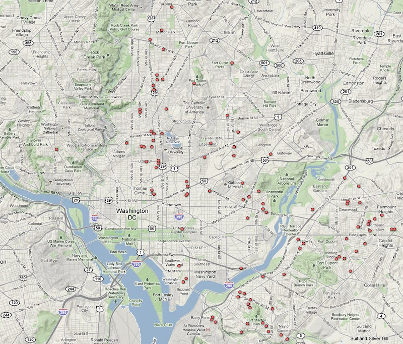
View an interactive map with all crimes, not just homicides.
Sources: D.C. Data Catalog, Google Fusion Tables | Raw Data: CSV