Mapping D.C. Embassies
You may have heard the term Embassy Row, which refers to the cluster of international diplomatic headquarters along Massachusetts Avenue in northwest D.C.
This map shows all 178 embassies, from Afghanistan to Laos to Zimbabwe, as points on a topographic map:

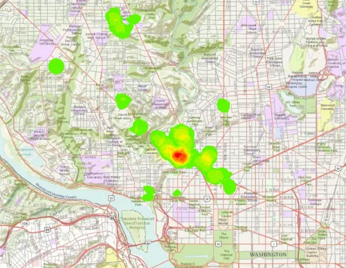
Here’s the same view, but as a point density map (made with ArcGIS spacial analyst):

Source: DC Data Catalog | Map data: ArcGIS.com