Posts tagged "openheatmap"
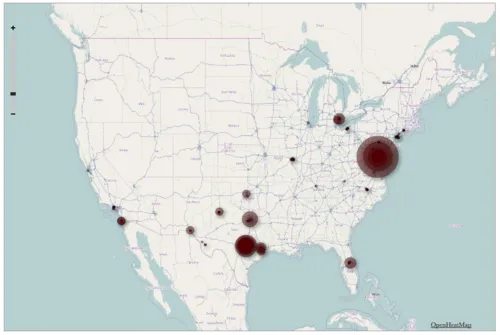
Visualizing Foursquare, Pt. 2
This morning I posted a quick map illustrating my 1,100 check-ins on Foursquare during the last two years. I made it using TillMill, an open-source application for creating interactive map...
Read more →
Mapping U.S. Aid Overseas
The U.S. has doled out more than $400 billion in economic and military assistance to other counties since 1946, according to this table on Data.gov. Top recipients: Israel ($34 billion),...
Read more →
Mapping Oil/Gas Drilling in PA
Scott Detrow and I mapped drilling for NPR’s StateImpactPA site: First, while 32 counties host gas wells, the bulk of activity is still taking place in a handful of drilling-heavy counties. More...
Read more →
U.S. Open Venues
The U.S. Open golf championship has been held at 50 of the nation’s elite courses since it began in 1895, including this week at Congressional Country Club in Maryland. But...
Read more →