Mapping LA Fires
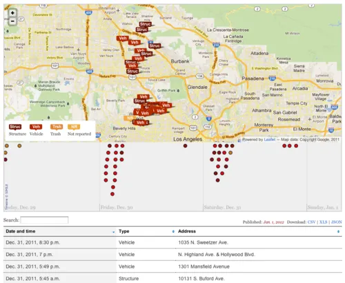
The Los Angeles Times has released a nifty interactive map and table of the recent arson fires in the City of Angels:
Since the morning of Dec. 30, a wave of intentional blazes has damaged property and left residents on edge. The fires range from the Westside to Hollywood and from the San Fernando Valley south to Lennox. Nine more fires were reported Monday morning. Officials have not confirmed whether some reported fires are related to the arson spree. The Times will update this map as more details become available.
I like how the fires are categorized by type — and that the Times’ data desk added a handy timeline to help readers visualize when the fires were set:
