Posts tagged "mapbox"

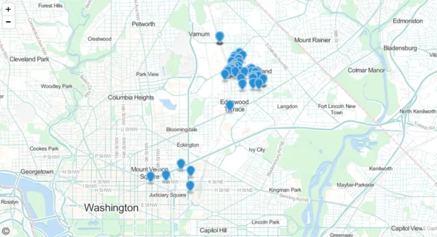
Mapping GeoJSON On Github
I've been hoping to tinker with Github's new mapping service since the company announced it earlier this month. Turns out it's quite easy. You just commit a GeoJSON file to your repo,...
Read more →

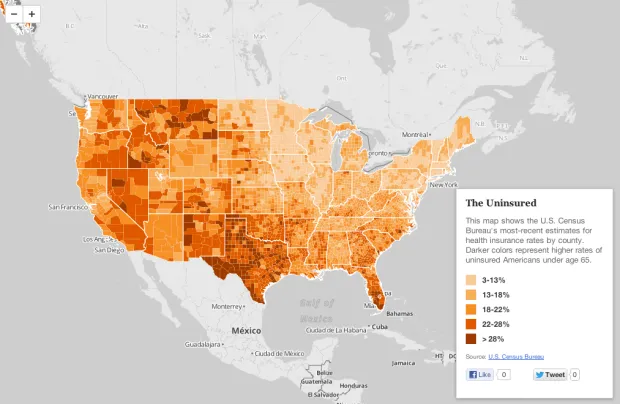
Mapping Health Insurance By County
The U.S. Census Bureau recently released estimates for insurance rates by county. This interactive map shows those rates, with darker shades representing higher uninsured rates: View the larger, interactive version...
Read more →
Mapping Wildfire Danger
Our latest work project transforms the static federal wildfire danger forecast into an interactive map. We released it today: Users can view the full country map or find their location...
Read more →
Mapping 'Poisoned Places'
NPR and the Center for Public Integrity have teamed up for a series of this stories this week about facilities that emit toxic chemicals. One part of the package is...
Read more →
White House Maps 'Excess Properties'
The White House today released an interactive map of excess properties maintained by the federal government. And, even better, it appears they made it with open-source tools. An explainer: The...
Read more →